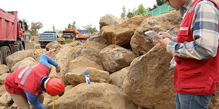
The drilling rig arrives on site in Wigan and the first thing the crew checks is the drift geology. A cable percussive rig or a window sampler mounted on a tracked carrier is often the right call here. Much of the borough sits on Pennine Middle Coal Measures overlain by glacial till and pockets of sand and gravel. The rig sinks a borehole through made ground first. That layer is unpredictable in Wigan. It can be colliery spoil, old brick rubble, or reworked clay. The sampler brings up a core and we log it on the spot using BS 5930:2015+A1:2020 procedures. We need to see what is down there before anyone pours concrete. A test pits programme works well on the shallow sand lenses near the Douglas valley to map the transition from alluvium into the stiffer till.
The biggest variable we see in Wigan ground investigations is not the natural geology. It is the unknown depth and composition of the man-made fill.
Local context
In Wigan, many times we see that a site investigation misses the old shallow workings. The BGS records show hundreds of mine entries across the borough, but the exact position is not always reliable. A soil mechanics study that only looks at the first five metres can miss a collapsed bell pit at six. We watch for signs: soft spots in an otherwise stiff till profile, or a sudden change in water strike levels between adjacent boreholes. Sulfate attack on buried concrete is another real risk. The colliery spoil and some of the shale horizons are aggressive. We specify the Design Sulfate Class and the BRE SD1 concrete quality for the ground conditions. Where the natural drainage is poor, like in the low-lying areas around Ince, pore water pressure builds up after wet winters and cuts the effective stress. That matters for retaining structures and slope stability.
Quick answers
How deep do you drill for a soil mechanics study in Wigan?
The depth depends on the foundation type and the drift thickness. For a two-storey housing plot we typically go to 8–10 metres to pass through the made ground and into the natural till or bedrock. For larger commercial structures or where deep mine workings are suspected, we can extend boreholes to 25 metres or more. We always check the Coal Authority report before setting the final depth.
What is the typical cost range for this study in the Wigan area?
A soil mechanics study in Wigan for a residential or light commercial site falls between £2,150 and £3,730. The final figure depends on the number of boreholes, the depth, the laboratory tests required, and whether we need to probe for shallow mine workings. We give a fixed price once we have seen the site layout and the historical records.
How long does it take to get the report after the fieldwork?
We complete the site work and deliver the factual report within two to three weeks for most Wigan projects. If we are running a full lab programme with triaxial and oedometer tests, the interpretive report with foundation recommendations can take an extra week. We keep the timeline tight because we know the contractor is waiting to break ground.
Can you investigate a site that has old colliery spoil?
Yes. That is one of the most common ground conditions we handle in Wigan. We log the spoil, sample it for chemical testing, and assess its compaction and settlement potential. If the spoil is loose or contaminated, we outline options for removal, dynamic compaction, or a suspended floor design. We also check for hidden shafts and vents.