Wigan sits on the Middle Coal Measures, a Carboniferous sequence of interbedded sandstones, siltstones and worked coal seams that make deep excavation inherently unpredictable. The legacy of the Lancashire Coalfield means that even a straightforward cut on Wallgate or near the River Douglas can encounter old mine entries, fractured rockheads and perched groundwater perched in former workings. The local geology demands instrumentation that captures movement before it becomes visible at ground level. Geotechnical excavation monitoring in Wigan requires a layered approach: piezometers tracking groundwater response to dewatering, inclinometers detecting lateral deflection in shoring, and optical survey points registering settlement on adjacent Victorian structures. Our team deploys calibrated vibrating-wire instruments and automated total stations that feed data into a Eurocode 7 observation framework, allowing the designer to verify ground model assumptions during construction. For projects where the coal seam roof is less than 6 m below formation, we often combine monitoring with targeted test pits to confirm the exact stand-up time of the mudstone before installing support.
In Wigan's Coal Measures, the difference between a stable cut and a collapse is often 15 mm of lateral movement recorded by an inclinometer over a single weekend.
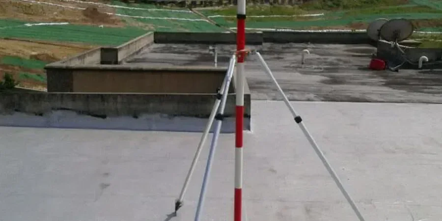
Local context
A deep basement excavation on Standishgate encountered a water-charged sandstone lens at 4.5 m depth that had not appeared on any borehole log. Within three hours of cutting, a 2 m³ block of the face spalled off, and water inflow reached 12 litres per minute. The piezometer installed at the toe of the temporary works recorded a pressure spike of 28 kPa above the design envelope, triggering an automatic SMS alert to the site agent. Because the monitoring system was logging at 15-minute intervals, the team could trace the exact moment when the pore pressure exceeded the critical gradient and correlate it with the rainfall event two days prior. Without that real-time data, the failure would have been blamed on a construction error instead of an undetected hydrogeological boundary. This is the reality of excavation monitoring in Wigan: the ground is too heterogeneous for assumptions made at the desk study stage, and only continuous instrumentation can close the gap between the GI model and the exposed face. When old mine roadways are suspected, we add in-situ permeability testing to the monitoring plan to quantify the connectivity of the flooded voids.
Quick answers
What is the typical cost range for geotechnical excavation monitoring on a Wigan project?
For a programme including three inclinometers, six piezometers, a network of surface settlement points and weekly optical surveys over a 6-month period, the cost usually falls between £730 and £2,170 per instrumented section, depending on the number of dataloggers required and the reporting frequency. Schemes that call for automated total stations with 24/7 web access sit toward the upper end of that range.
Which parameters are tracked during an excavation in the Coal Measures?
Lateral wall deflection via in-place inclinometers, groundwater pressure with standpipe or vibrating-wire piezometers, vertical movement of the retained surface using settlement markers, and load in props or ground anchors through load cells. On sites close to the Wigan flight of locks, we also monitor canal water levels because a drop of more than 150 mm can indicate a leak path developing through the fissured sandstone.
How do you set trigger levels for monitoring in Wigan's ground?
Trigger levels are derived from the serviceability design calculations in the temporary works package. Green is 70% of the predicted SLS movement, amber is 85%, and red is 100% of the design value. For groundwater, we add a rate-of-change trigger: a pressure increase above 5 kPa/day prompts an immediate technical review, even if the absolute head remains below the amber threshold.